OsmoVision®
Turnkey Structural Modeling Solution
Osmose provides professional pole engineering services designed to maximize the safety and reliability of your pole plant while reducing the cost of ownership.
OsmoVision® is an industry-leading suite of technology solutions designed to effectively acquire and transform LiDAR point clouds, imagery, and photogrammetry into actionable data to improve the integrity and reliability of your distribution network.
Turnkey Data Acquisition
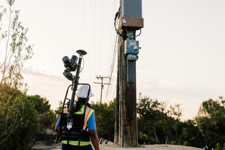
OsmoVision solves deployment issues associated with traditional LiDAR acquisition methods including pole access and mobilization, ensuring Osmose can serve projects of any
size and location. This turnkey mobile solution ensures the technician can collect the increased detail needed to create better models and solve more problems for pole owners and telecommunication providers.
Improve Data Accuracy with OsmoVision
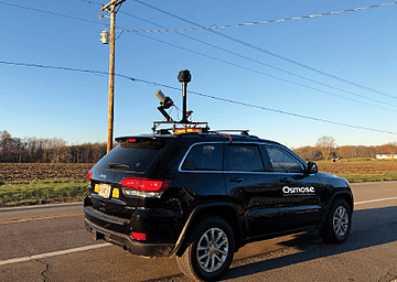
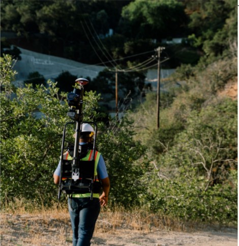
OsmoVision collection incorporates vehicle or backpack data acquisition and photogrammetry. Eliminating the need to collect physical measurements in the field like angles, span lengths, and heights reduces the chance for human error and inconsistencies in pole attribute data. Our ability to reach difficult access locations (vegetation, rear lots, etc.) makes our approach a perfect complement to pole owners with existing LiDAR solutions.
OsmoVision is Ideal for Supporting:
• Fast and accurate pole loading initiatives• Distribution analysis and hardening
• Fast and accurate pole application processing
• Rapid system-wide clearance analysis
• Structural resiliency programs
LiDAR Classification
Fast, accurate point cloud classification, and segmentation leveraging Osmose’s utility experience and knowledge to create a more accurate model of your pole.
Accurate Structure Positioning
Combination of LiDAR point cloud and GPS locations to accurately position structures to improve asset locations in GIS.
Image Recognition
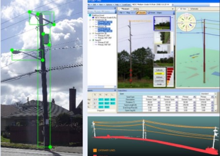
State-of-the-art neural networks trained to identify utility poles, wires, and equipment for a faster pole model creation especially when combined with LiDAR point clouds.
Improved Measurements
Attachment heights, span lengths, and line angles are now determined from the LiDAR point cloud and photogrammetry, ensuring improved accuracy and efficiency for pole loading and clearance analysis.
Lower Cost Model Creation
Digital modeling of the pole and attachments created by combining LiDAR and image recognition data to improve accuracy and perform faster at a lower cost.
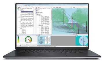
LiDAR Classification • ImageRecognition • Photogrammetry
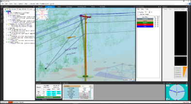
OsmoVision utilizes a patent-pending point cloud classification and segmentation process along with image recognition and photogrammetry to create a more accurate Osmose Digital TwinTM of the pole, wires, and equipment.
OsmoVision leverages tools within the O-Calc® Pro utility structure analysis software to adjust attachment heights, span lengths, and line angles to match the LiDAR point cloud. Design technicians perform entire line clearance analysis, not just at the pole, but along the entire span.
Fill out the form below to speak with an Osmose expert about OsmoVision.
.png?width=243&name=Osmose-logo-(white).png)